
Urban hiking Ruth Bascom north river loop on foggy January morning – long hiking miles without driving a car!
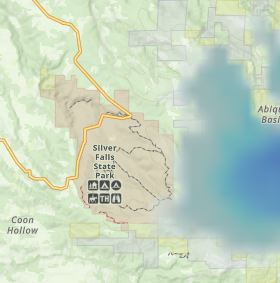
Time was allocated for a long hike, but the recent cold weather had left snow in lower elevations, i.e., Mary’s Peak and Silver Falls. Here’s GaiaGPS snow coverage overlay for Silver Falls (the blue = snow, the darker the deeper)
Ridgeline and Spencer Butte were not considered given the heavy wear / tear showing. As a fair compromise, an urban hike from my front door taking advantage of Eugene’s great park trails – primarily Ruth Bascom river path. Very similar urban hike as earlier this month, but the other direction along the river. Urban hiking Ruth Bascom north river loop is a great no drive hike to notch miles while the cascade foothills are snow covered.
The loop route
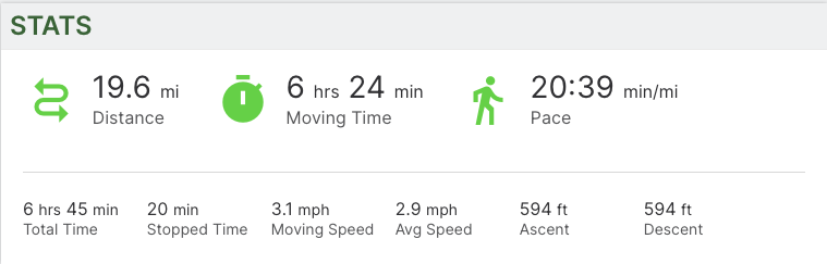
Started at Gillespie Butte, then north up around Ayers Lake to Ruth Bascom path at Delta Highway, then along the river to Skinners Butte and then back home. A very flat, fast 19 miles.
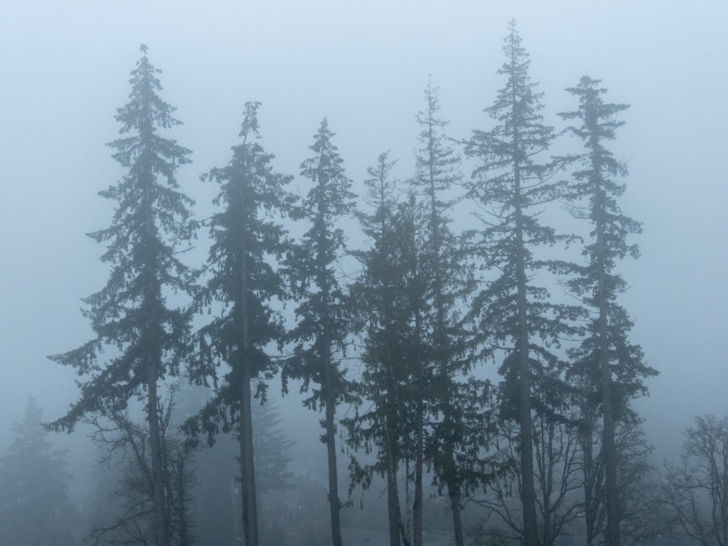
Sunrise Gillespie Butte
Sunrise was fog. Just fog.

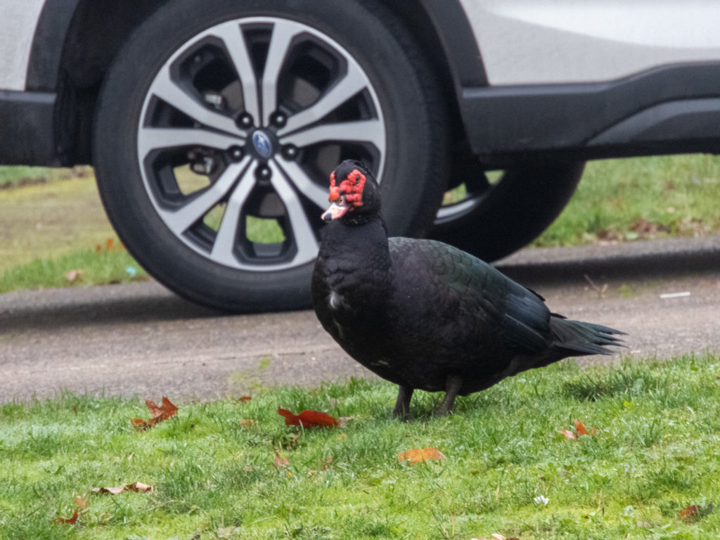
Weird birds
Birds were out everywhere! Making noises, strutting their stuff and just showing off. Or, like the blue heron, just hanging out trying to stay warm.


That group of turkeys would jump up and show off their tail-feathers. A movie was attempted, but failed.
Fog on north Willamette River loop
Along the river the fog settled near the water leaving much to the imagination


Urban trail condition
Trails were in great but the grass areas were under attack … looked like those piles were intentionally placed rather than rodent convenient.

